Masterplan twin16 tools
Stockport East Masterplan
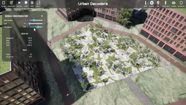
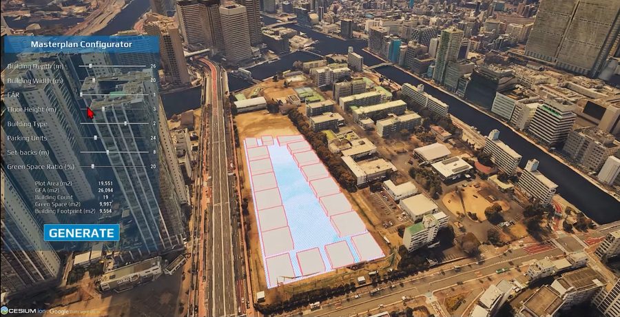
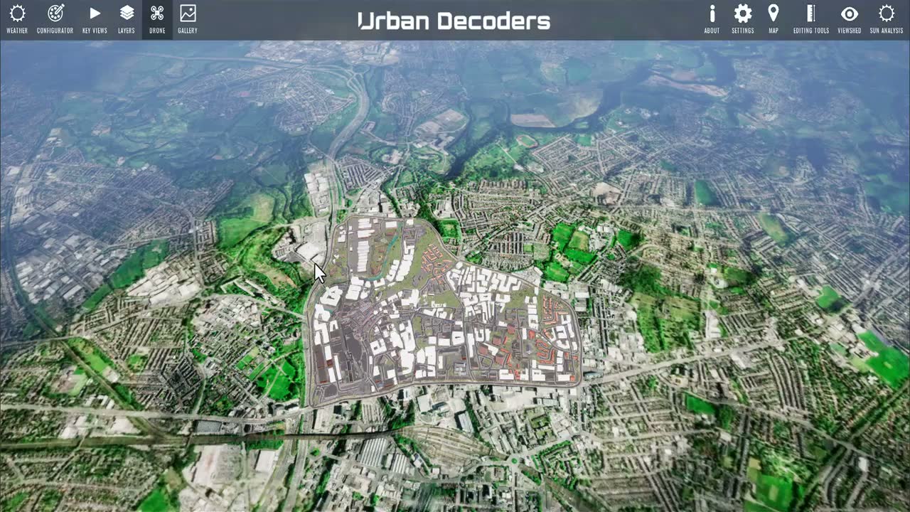
What it does. A working twin of the Stockport East regeneration area. GIS layers, key views, dynamic sun and weather, first-person and drone walkthroughs, measuring and section tools, solar and viewshed analysis, POI and transport data, all on one georeferenced base.
What it returns. A model that officers, designers and residents can move through and question. Every capability on this site was recorded inside it. Hover to play the flythrough.
Stockport East·British National Grid·Unreal Engine 5·GIS + transport + POI layers·1:39 cut