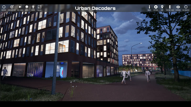
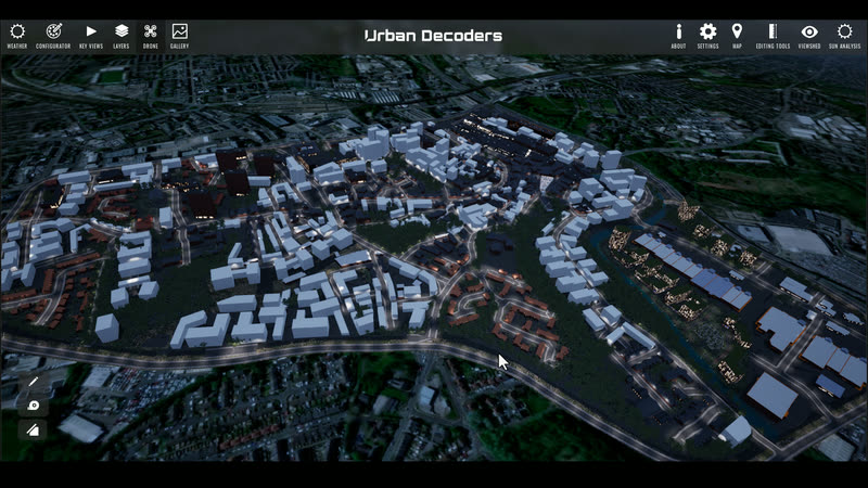
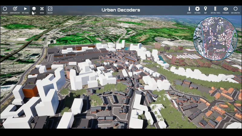
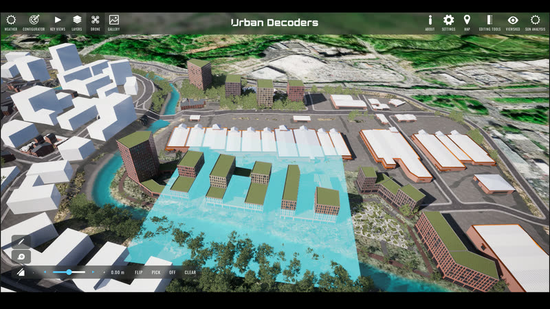
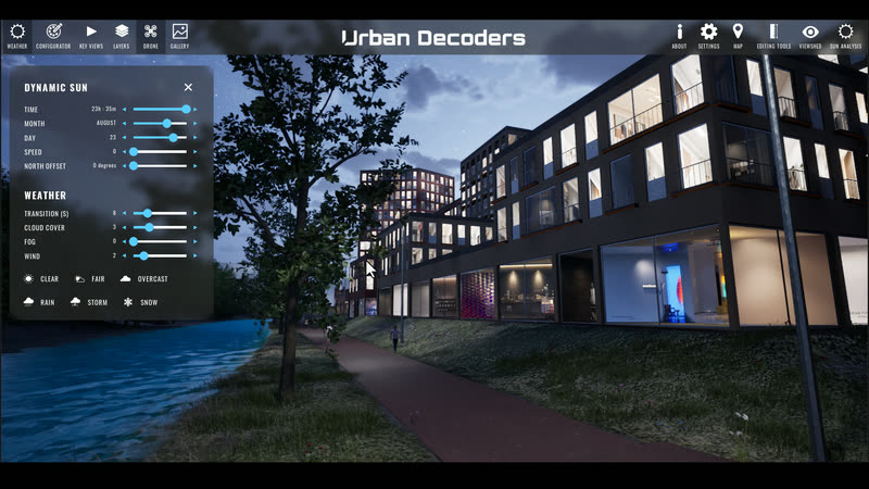
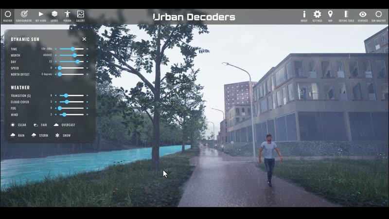
Digital Twins
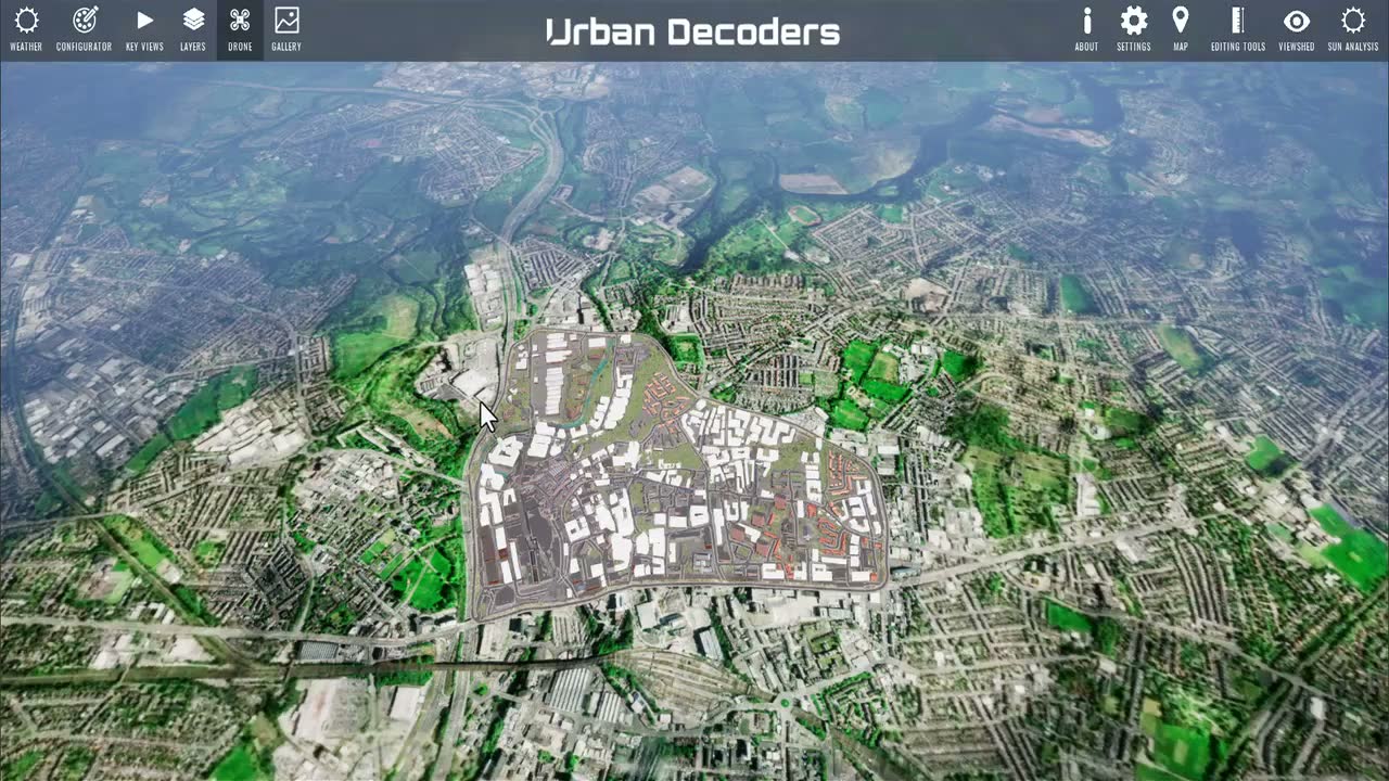
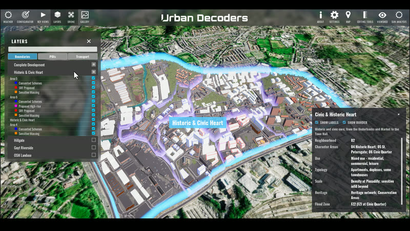
Living replicas of buildings, districts and whole towns — BIM, GIS and live city feeds (traffic, transport, CCTV counts, sensors) bound into one navigable model, of the place as planned or as it runs today.
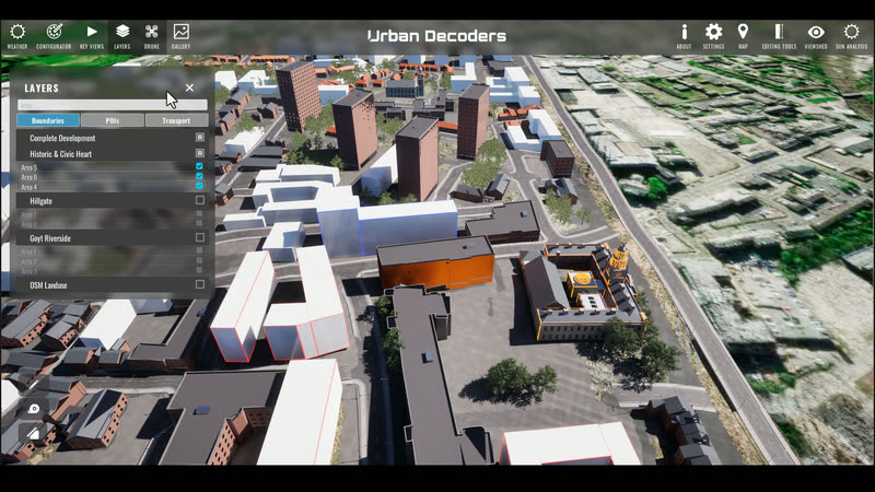
Urban Decoders turns plans and city data into living digital twins and immersive experiences — so buyers can walk the scheme, residents can have their say, and authorities can decide with evidence. And for the city that already exists, we wire in the live feeds — traffic, transport, CCTV, air — so it can be seen as it runs.
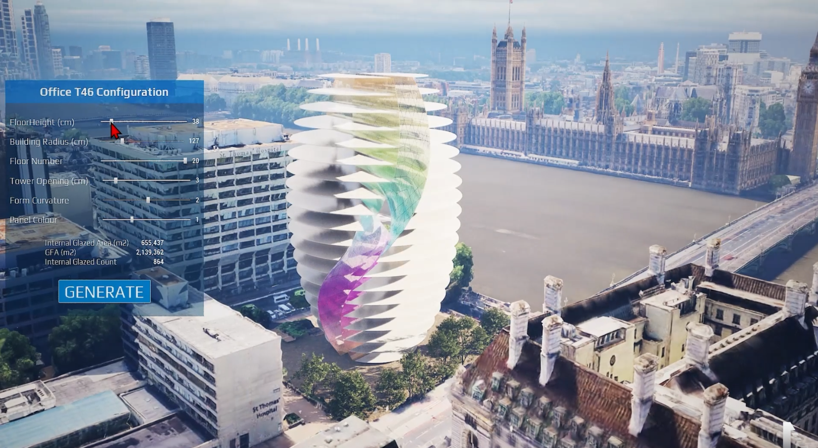
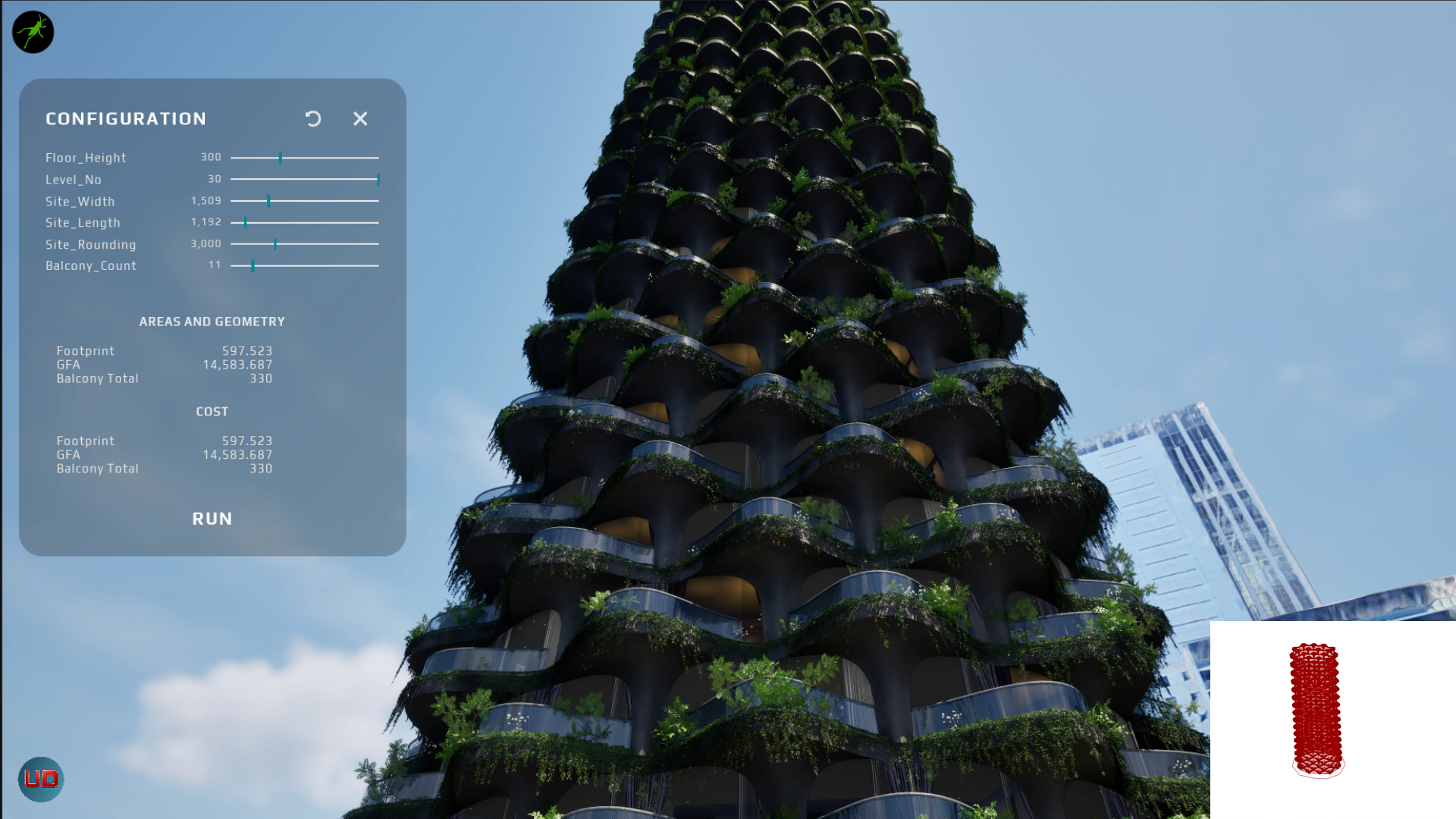
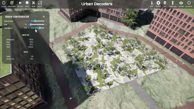
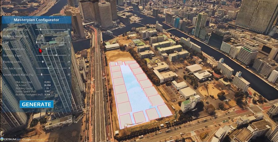
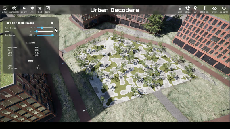
Watch a digital twin being worked, live: site dimensions, floor count and balconies rebuilt in seconds, with the areas and numbers recomputing as the sliders move. This is what every place we model can do.
Explore digital twinsLiving replicas of buildings, districts and whole towns — BIM, GIS and live city feeds (traffic, transport, CCTV counts, sensors) bound into one navigable model, of the place as planned or as it runs today.
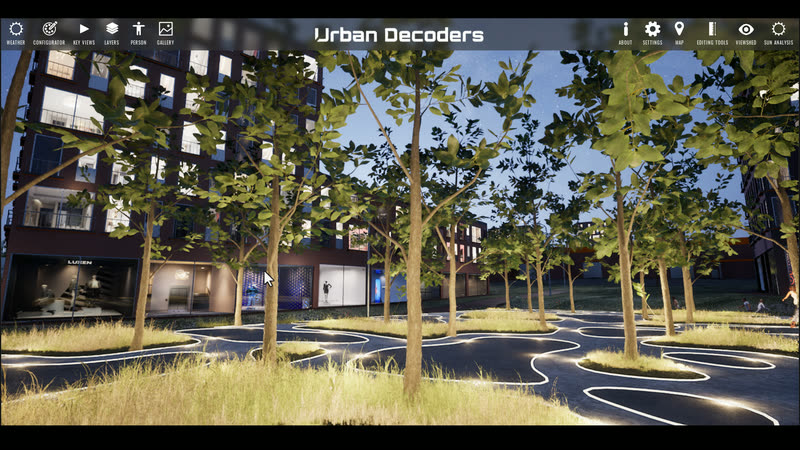
VR journeys, AR overlays and real-time walkthroughs built on game engines — headset, touch table or a link that opens in a browser on any device.
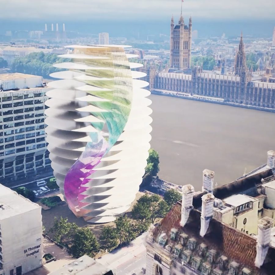
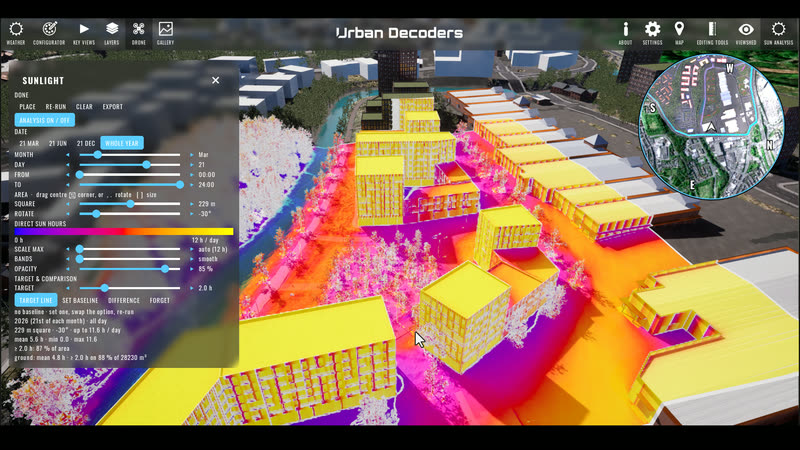
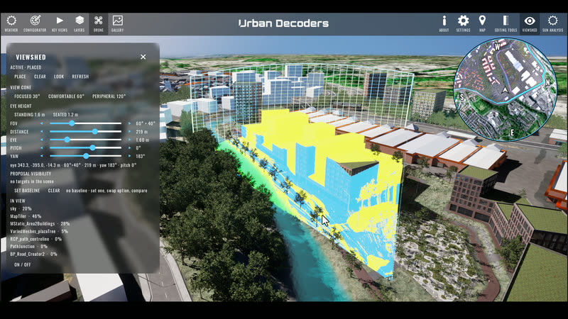
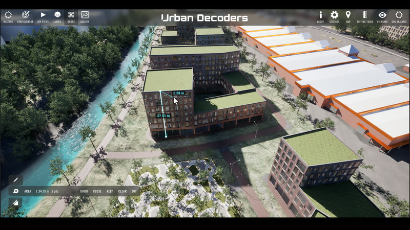
Scenario testing in 3D — massing, density, phasing, daylight, views and transit. Compare options side by side and take the evidence into the committee room.
Public-facing consultation that lets residents explore the proposal, leave comments in place and be heard — turning objection into informed participation.
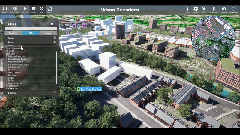
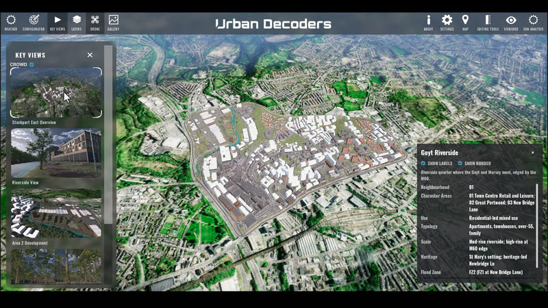
A web-based explorer for your place — layers, storylines and points of interest anyone can navigate from a link. No install, no training, no gatekeeping.
Site and city context assembled from GIS layers, open data and survey records — georeferenced to a stated CRS and cleaned into the base every twin, application and visualisation is built on.
Interactive touch tables, kiosks and projected installations that turn a model into something a room full of people can gather around and actually use.
A live dashboard on top of the twin — assets, occupancy, environmental and footfall data — so the people running a place can see how it actually performs.
Game-engine tools that teach a place — school programmes, public exhibitions and training that make planning and the built environment something people want to explore.
Building footprints © OpenStreetMap contributors.
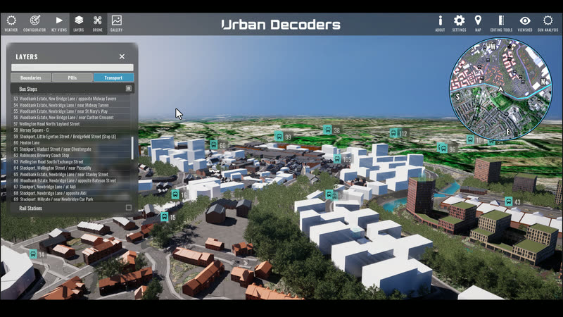
A twin doesn't have to wait for a scheme. We connect the feeds a city already publishes — traffic counters, CCTV, bus and rail APIs, air quality, footfall, energy — and visualise them on the real place, live, so the people running it can see it breathe.
Live feeds · demo data
Values above are simulated for illustration. Named sources are the kinds of public and operator feeds we integrate — TfGM / Bee Network, Network Rail Darwin, DEFRA AURN, council CCTV and traffic systems — always under the data owner's terms.
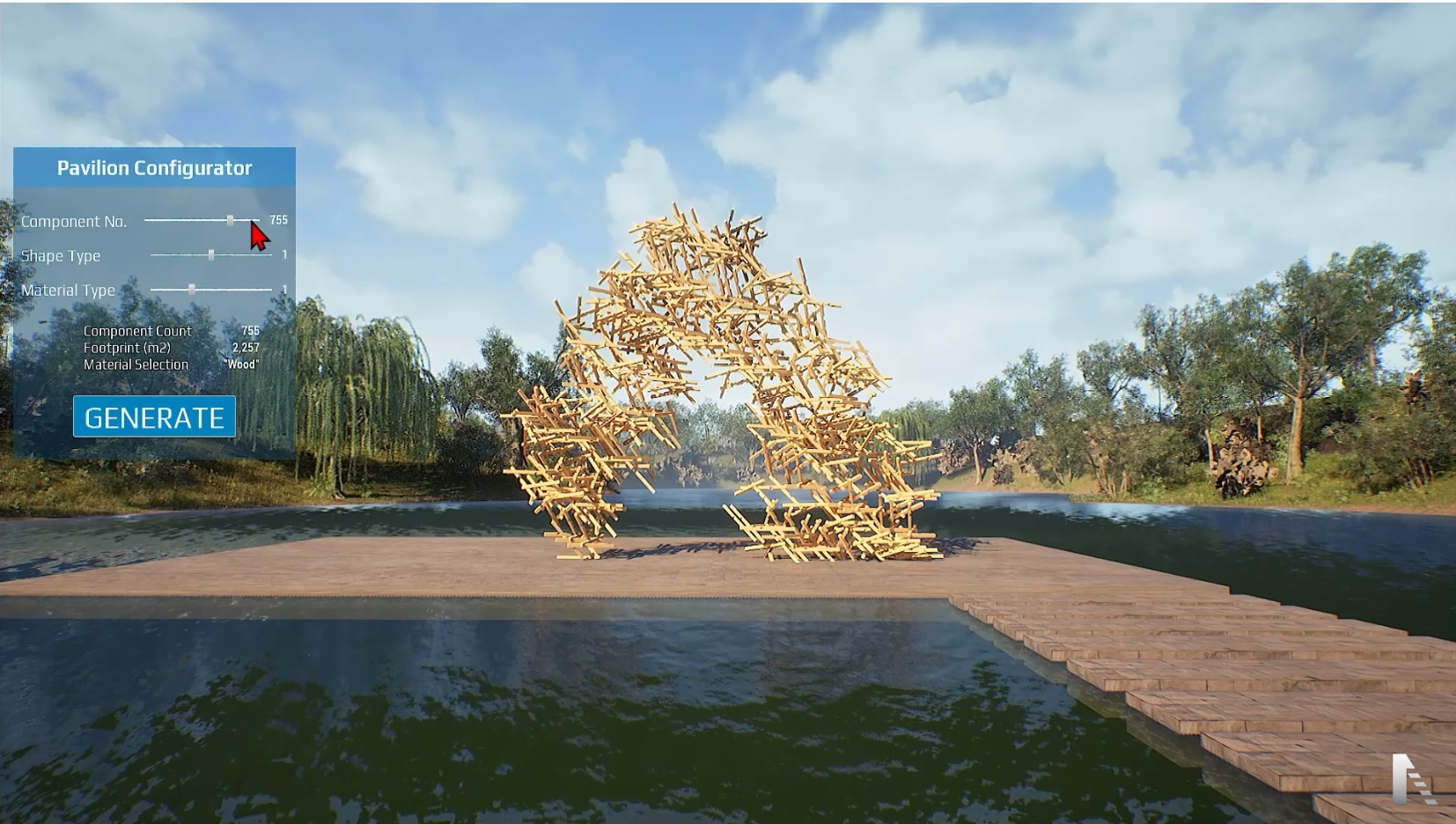
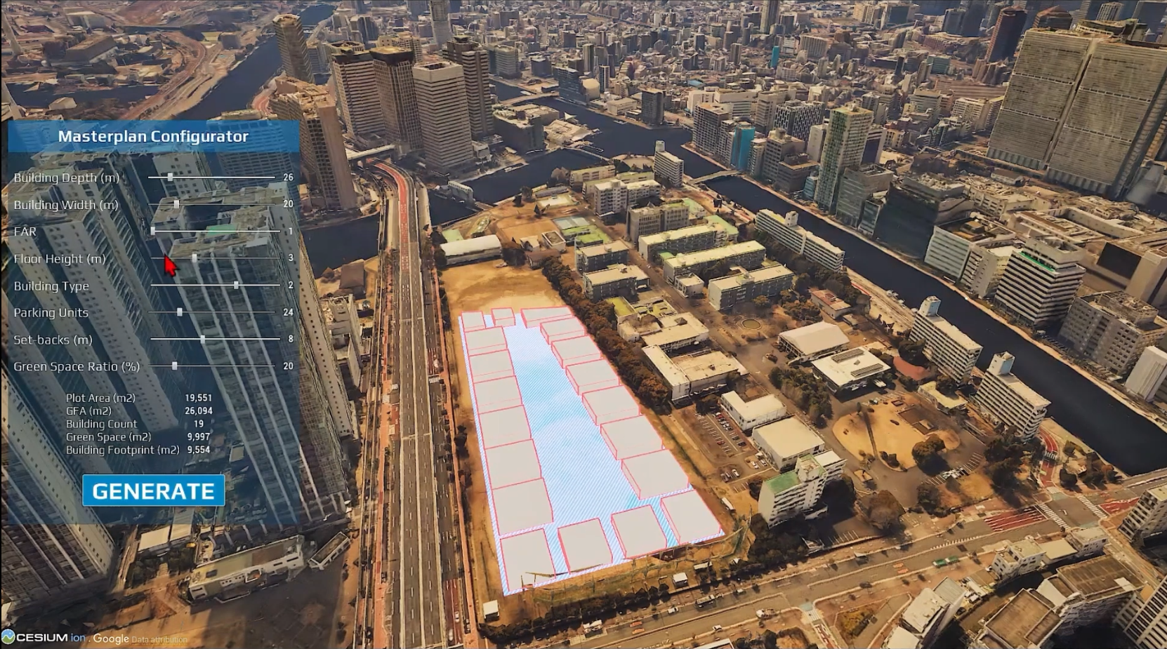
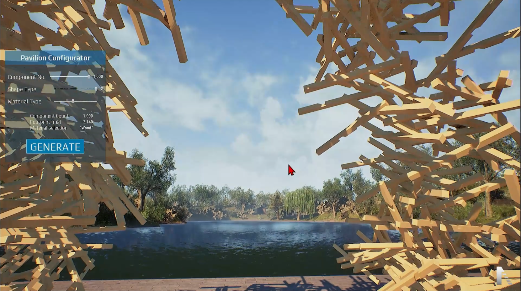
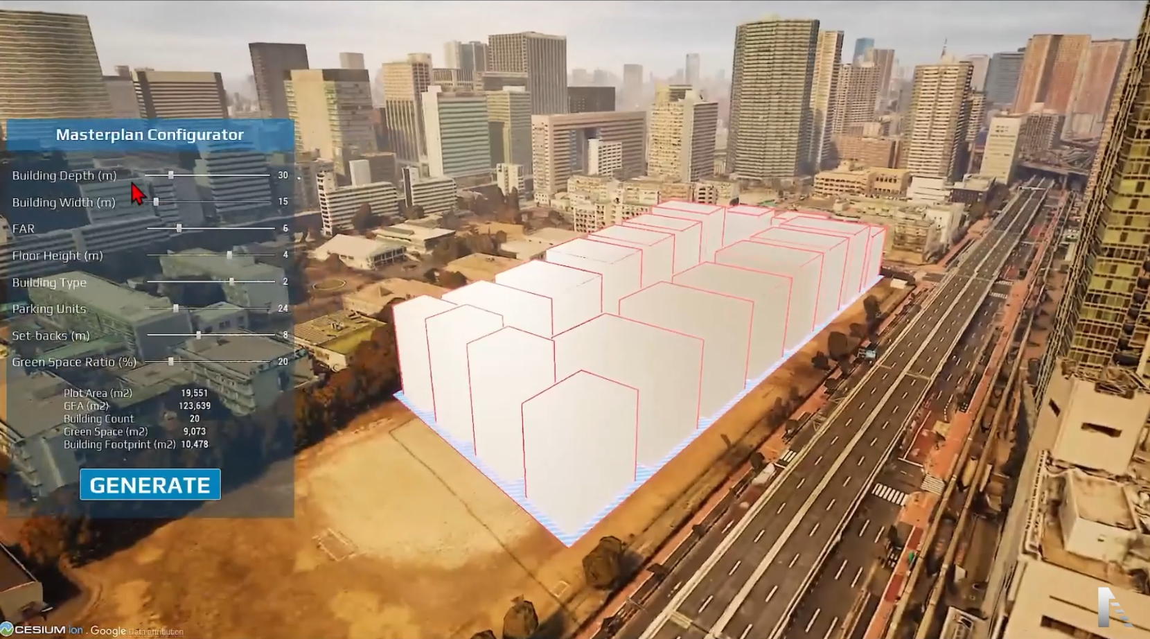
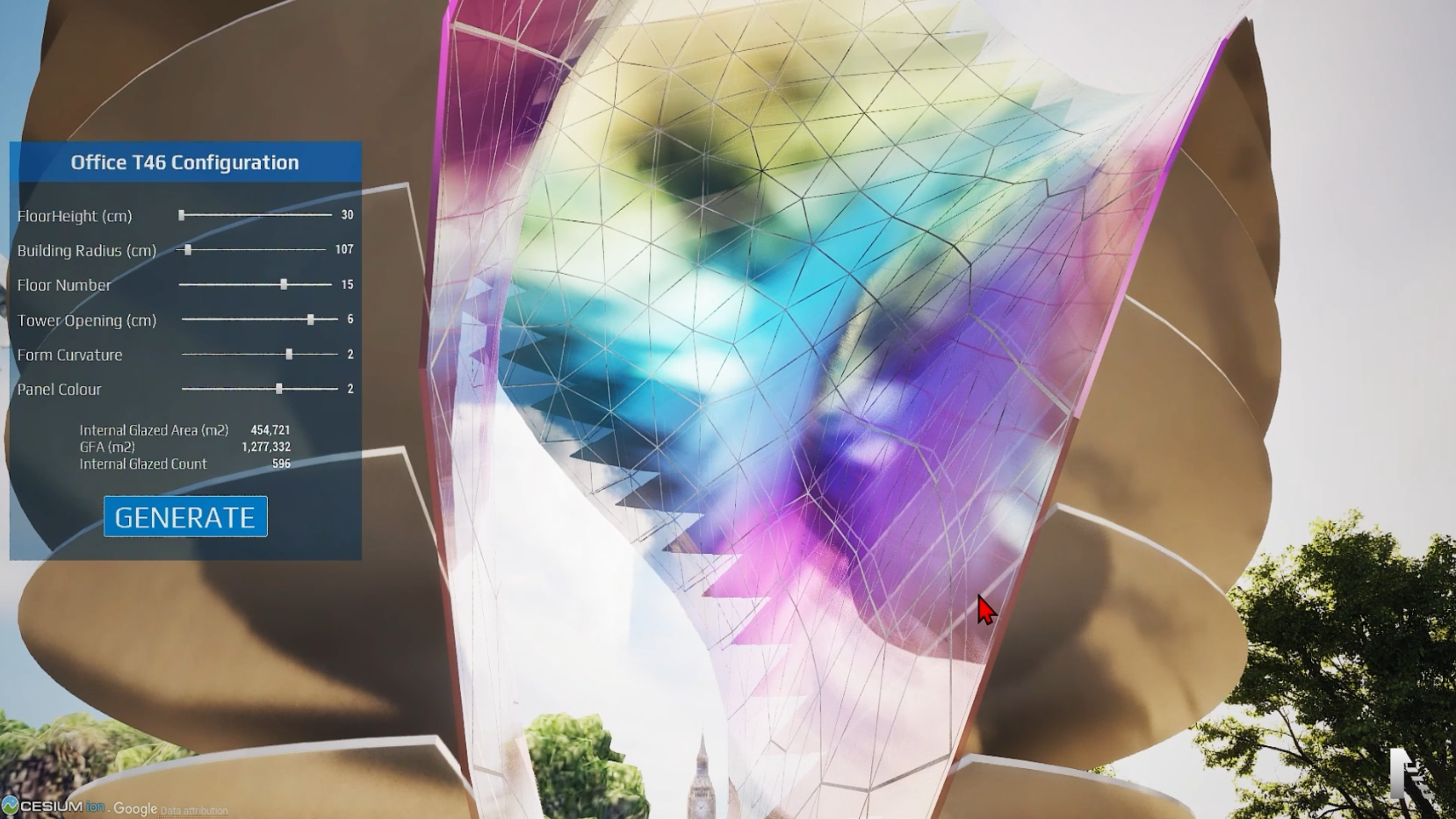
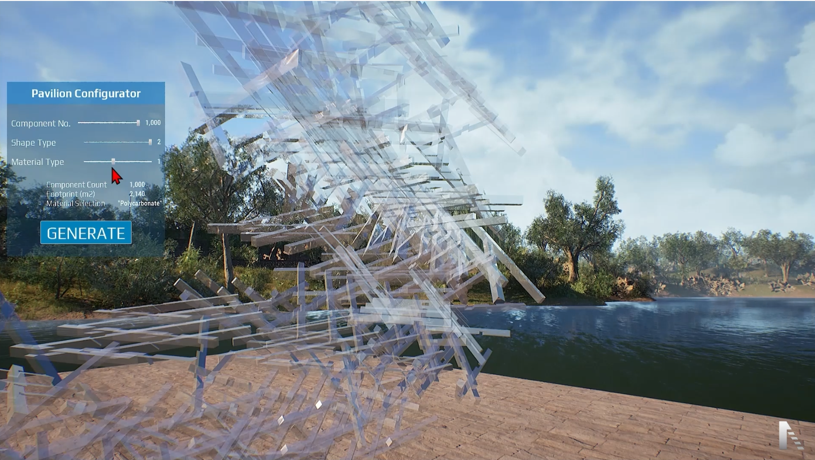
Arki Engine is the flagship product of Urban Decoders' research and development. An Unreal Engine–powered, real-time design platform that brings architectural and spatial ideas to life through advanced data-driven workflows, configurable design systems, and complex geometric and analytical computation.
All wrapped in a high-fidelity visualisation environment that streamlines material choices, configuration options, and overall design efficiency — from parametric pavilions to city-scale masterplans.

755-component aggregation

Parametric massing study

Data-driven parcel layout

Real-time facade study

Generative structure

Context + zoning layers

Configurable geometry

Material configurator
Scroll to rotate the gallery
WalkthroughReal-time design in Unreal Engine
We audit your masterplan, sales goals and existing assets — CAD, GIS, brand — to scope the twin and the story.
We map the journey — buyer, resident or authority — and choose the right mix: web explorer, VR journey, media table or consultation platform.
Context assembly, 3D modelling, rendering and real-time twin engineering — reviewed with you at every milestone.
We install, train your sales team, and keep the twin synced to the plan long after opening day.
| Capability | Freelance visualiser | Marketing agency | Urban Decoders |
|---|---|---|---|
| Data-synced digital twin | — | — | Included |
| Live city feeds (traffic, transport, CCTV, IoT) | — | — | Integrated |
| Masterplanning digital twins | — | — | Whole plan, phased |
| GIS, city data & context modelling | — | Outsourced | In-house |
| Planning & consultation engagement | — | Comms only | Platform + evidence |
| Selling units off-plan | Stills only | Campaign only | Immersive + real-time |
| On-site VR & media-table installs | — | — | Design + install |
| Web walkthrough, no headset needed | Sometimes | Yes | Yes, real-time |
| District & city scale | — | Limited | Core focus |
| Post-launch twin maintenance | — | — | Managed |
Book a consultation and we'll map the fastest path from your masterplan to an immersive experience your buyers, residents and stakeholders can step inside.